Bike Trails & Bicycling Maps
The Ambler Green Committee seeks to improve bicycle routes and usage in Montgomery County.
An effort is being made to:
If you can provide assistance, please contact us below.
Bike Racks
The Road Map is the first plan for Montgomery County specifically aimed at improving bicycling conditions. In
the past, bicyclists' needs have generally been overlooked because bicycling has not been a transportation
priority. Recent advances in bicycle planning, including the preparation of the Road Map, have been spurred by
the federal Intermodal Surface Transportation Efficiency Act of 1991 (ISTEA). ISTEA mandates that long-range
transportation plans incorporate bicycling as a legitimate form of travel.
Ambler Open Space Plan (.pdf)
Bicycle racks currently can be found at:
Bicycling
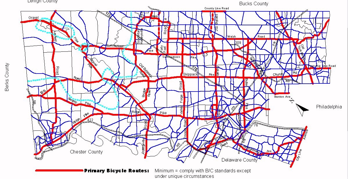
Road Map (A Bike
Mobility Plan for Montgomery County, Pennsylvania)
Map
Policies (hereafter
referred to as the "Road Map") is a strategic transportation planning document that answers the question: What
needs to be done to increase the use of the bicycle as a travel mode and vehicle in Montgomery County? The
Road Map identifies impediments to bicycling transportation and formulates goals, objectives, and
recommendations to overcome the impediments.
Ambler's Open Space Plan proposes linking open space areas, offering bicycle access,
crossing improvements, bike lanes and off-street amenities. PennDot offers non-recreational
bicycle improvements for travel purposes. In particular, there are a category of projects
for the Safe Routes To School program.